

On June 8, 2026, residents of Mexico’s Yucatán Peninsula experienced something most had never felt before: two separate earthquakes in a single day.
The tremors, one centered locally and another off the coast of Cuba, forced evacuations of buildings across three states, including a hotel in Cancún, and raised questions about why a region known for seismic stability suddenly shook.
The first earthquake struck at 10:05 a.m. local time. It registered a magnitude 4.2, with its epicenter 14 kilometers from the municipality of Ticul in Yucatán state, at a depth of only 5 kilometers.
While considered minor by national standards, the quake caused visible cracks in the walls of the Carmen Serdán preschool in the nearby town of Chapab de las Flores. School staff and parents were alarmed enough to coordinate a temporary evacuation of the building.
Several hours later, a much stronger earthquake occurred in the western Caribbean Sea, approximately 118 kilometers off the coast of Mantua, Cuba. Initial reports placed its magnitude between 6.1 and 6.4.
Although the epicenter was hundreds of kilometers away from Mexican territory, the seismic energy traveled across the Gulf of Mexico and was clearly felt throughout the Yucatán Peninsula.
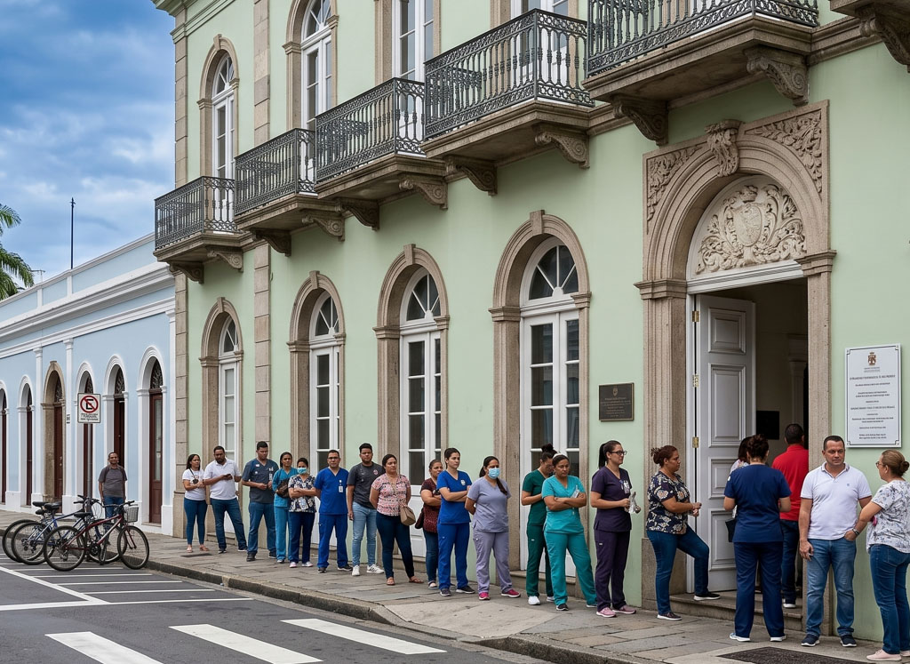
In Mérida, Cancún, and other cities, buildings swayed noticeably. Office workers, school children, hospital staff, and hotel guests were instructed to leave their buildings as a precaution. A major hotel in Cancún was evacuated, with management guiding guests to open areas while emergency teams conducted basic structural checks.
Why Earthquakes Are Rare in Yucatán
The surprise expressed by residents is grounded in geology. Unlike Mexico’s Pacific states, such as Chiapas, Oaxaca, and Guerrero, where the Cocos and North American tectonic plates constantly collide and produce frequent, powerful earthquakes, the Yucatán Peninsula sits in the stable interior of the North American Plate. It is not located along any active plate boundary. This means the region does not experience the daily release of seismic energy that characterizes the country’s most earthquake-prone zones.
Arturo Iglesias Mendoza, director of Mexico’s National Seismological Service, told local media that the recent tremors are not aftershocks of a distant major earthquake. Instead, they are localized seismic swarms originating from ancient, deep faults. The most significant of these is the so-called Ticul Fault, an approximately 130-kilometer fracture line running through southern Yucatán state. Dr. Juana Elia Escobar Sánchez, a geology expert at UNAM’s Mérida campus, explained that while the peninsula is a passive zone, it is not completely motionless. The subterranean blocks along the Ticul Fault can experience minor readjustments after thousands of years of pressure buildup, generating small, low-intensity tremors that occasionally reach the surface.
How Distant Earthquakes Can Shake the Peninsula
The second earthquake, centered near Cuba, demonstrated another important geological reality. Yucatán rests on a solid platform of limestone, the remains of an ancient seabed.
Luis Alberto Noh Miranda, an environmental engineering specialist, explained to the local news outlet Punto Medio that this limestone formation acts as an efficient conductor of seismic waves. When a magnitude 6 or greater earthquake occurs in the seismically active zone where the North American and Caribbean plates meet, the energy travels across the Gulf of Mexico. Once it reaches the solid limestone bedrock beneath the Yucatán jungle, the shaking can be felt clearly in cities far from the original rupture point.
No Damage or Injuries Reported
Throughout the event, local and state authorities reported that no serious structural damage occurred and that no injuries were reported. The Secretary of the Navy discounted the risk of a tsunami, explaining that a tsunami warning would be issued only for an earthquake exceeding magnitude 7.0, which this event did not.
However, the episode revealed a limitation in the region’s emergency infrastructure. The seismic alert system did not activate on cell phones, leaving many residents confused about whether an earthquake was actually happening.
Authorities clarified that Mexico’s national seismic alert system is designed for subduction-zone earthquakes along the Pacific coast. The system does not have sensors linked directly to the Yucatán Peninsula, a standard procedure for regions historically considered low risk. Officials stated they are reviewing whether to update this policy.
With information from Diario de Yucatán.